Irrigation scheduling is crucially important for many reasons including crop growth, irrigation efficiency and compliance – but can satellite irrigation scheduling be used?
Currently many New Zealand farmers rely on soil moisture monitoring systems for irrigation scheduling decision support. But what if remote sensing technology could be used instead to forecast the crop specific irrigation schedule?
Irrigation NZ News Summer 2022 edition features an interesting report (ourlandandwater/RFP2020) from a practical on-farm trial where crop coefficient data and high resolution satellite imagery were explored.
This is an exciting technology, but satellite irrigation scheduling seems to be a few steps away for practical use in New Zealand.
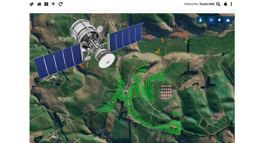
For some years now, satellite based technology has been widely used in precision agriculture. Uses include GPS for tracking and guidance and also satellite imagery from high grade multi spectral cameras.
Typical applications include NDVI (Normalised difference vegetation index) measurements and remote crop health monitoring. Both of these techniques provide a unique view and insight into large scale farming operations, but as the report indicates, the frequency and availability of satellite orbits is crucial for establishing meaningful and timely data. Additional satellite constellations are being frequently added to increase global coverage and reduce the cost.
Water-Insight has previously posted articles on Solid Set Irrigation Scheduling and Soil Moisture monitoring that are highly relevant for our IMS users.